Beginner Guide
Croagh Patrick Lower Loop: A Beginner's Guide
The lower slopes offer stunning views without steep climbs. We've mapped out the easiest route with rest stops and what to expect at each turn.
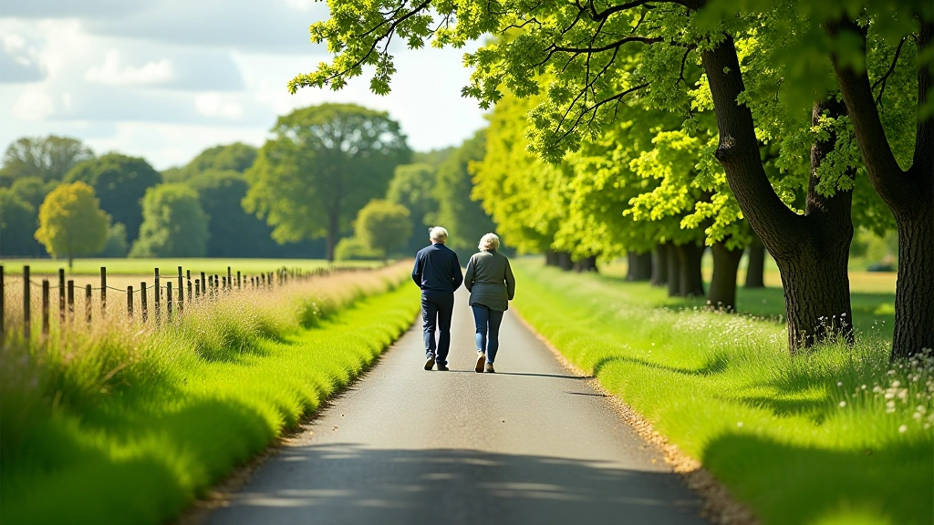
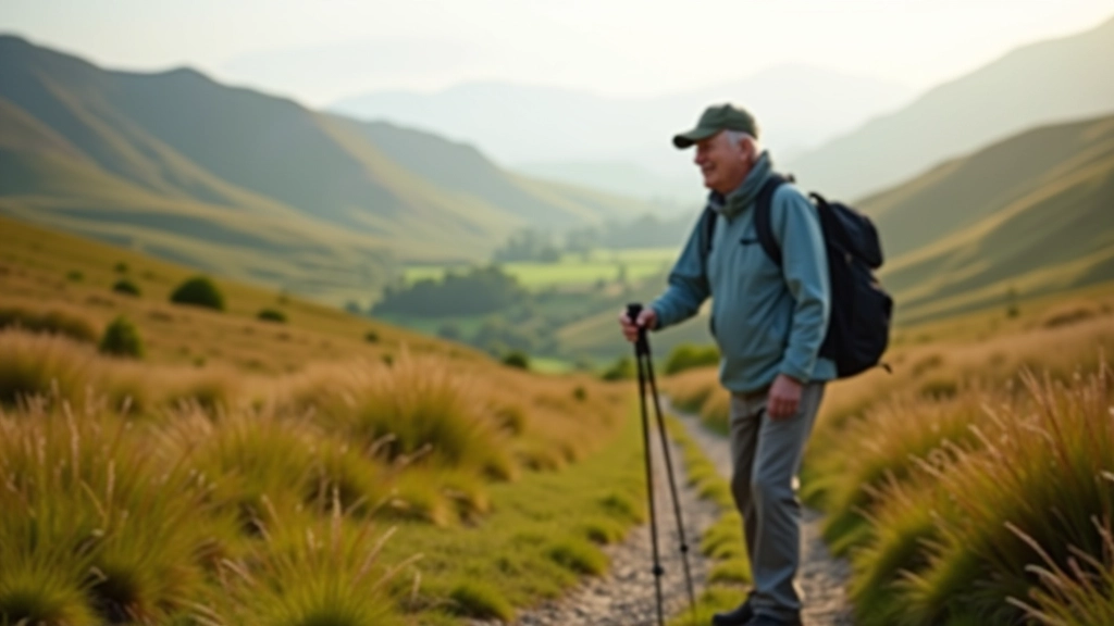
If you've been thinking about tackling Croagh Patrick but worried it might be too challenging, the lower loop is your answer. It's a proper mountain walk — not a flat stroll — but it skips the steep bits that make people turn back. You'll get the real mountain experience with views that'll stay with you.
We've walked this route dozens of times, and it's perfect for anyone who wants to prove they can handle a decent climb without needing professional mountaineering skills. The path's well-maintained, there's nowhere you'll feel truly exposed, and you've got multiple bail-out points if the weather turns.
What Makes the Lower Loop Different
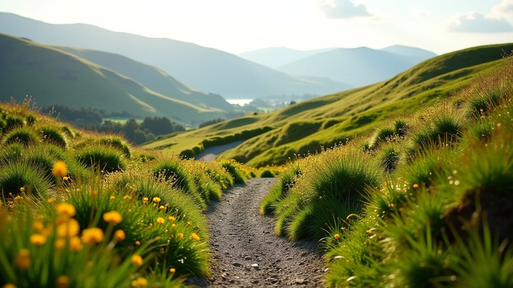
Croagh Patrick's main route climbs 764 meters straight up the cone. It's steep, scree-heavy, and genuinely tough. The lower loop circles the mountain at a gentler gradient — you're gaining elevation gradually rather than fighting gravity the entire way.
The path stays above 200 meters for most of the walk, so you're still on the mountain itself, not on foothills. You'll see the same sweeping views across Clew Bay. You'll walk through the same rough moorland. But you're doing it at a pace that doesn't leave you gasping for breath every ten steps.
Total distance is roughly 6 kilometers. Takes most people between 2.5 and 3.5 hours depending on fitness and how often you stop. There's genuine elevation gain — about 300 meters total — but it's spread out. Your legs will feel it, but not your lungs quite as much.
The Route Breakdown: Where You'll Go
Starting from the car park at Murrisk, you head up the main track toward the base of the cone. After about 1.2 kilometers, you'll reach a junction marked with cairns. This is where the lower loop splits off from the main route.
You take the left fork and contour around the mountain's eastern face. The path here is rocky but not technical — you're not scrambling, just walking carefully. The first 20 minutes are the steepest bit. Don't worry if you need to stop and catch your breath. Everyone does.
Around the 2-kilometer mark, the gradient eases off. You're now at around 350 meters elevation, and the path curves north. Clew Bay opens up below you — that's when you know you've made good progress. The remaining 3 kilometers are a gentle descent mixed with some more climbing as you round the northern shoulder.
Rest Stops That Matter
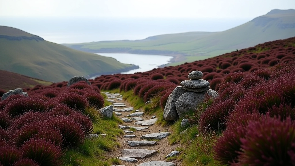
There's a natural resting point at about 1.5 kilometers where a flat rocky area gives you a place to sit. No facilities, just a good spot to get your breath back and have some water.
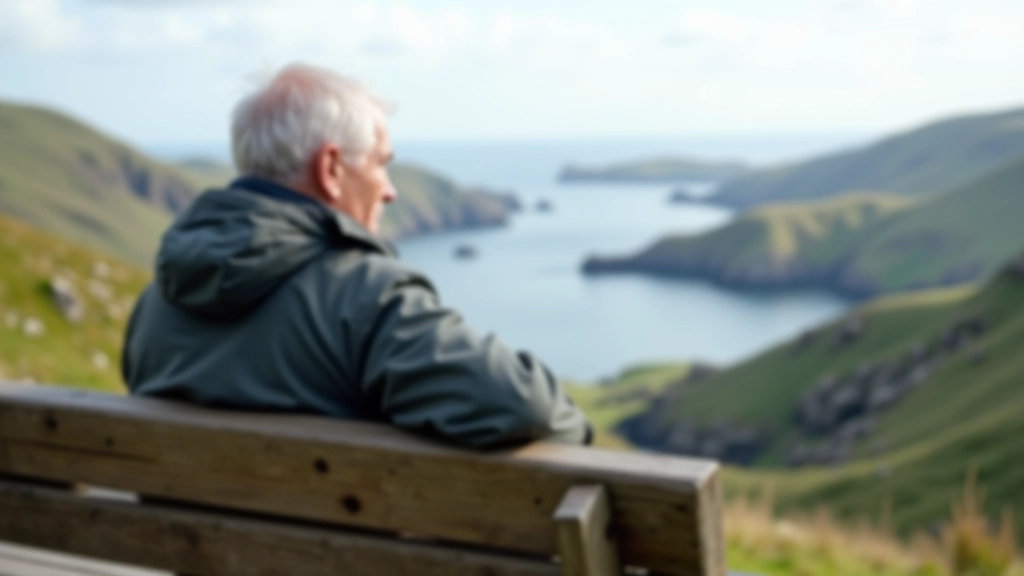
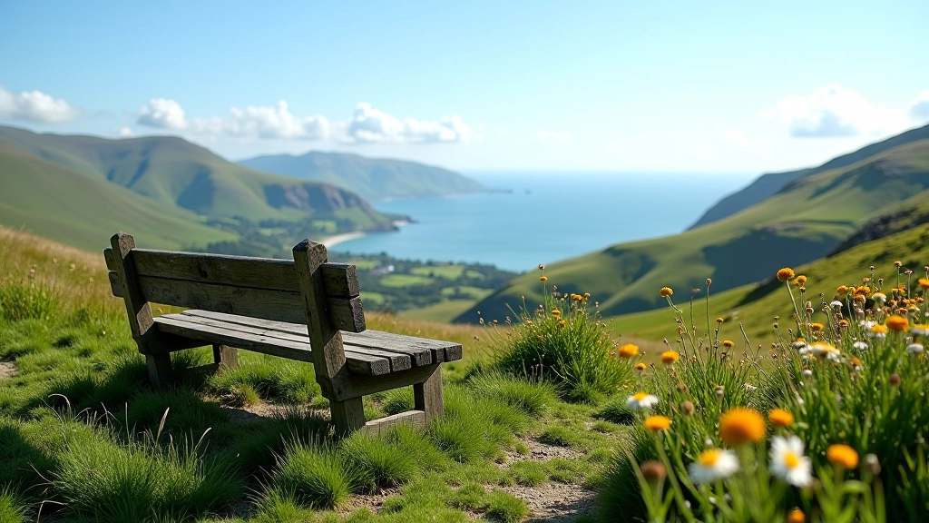
The best rest stop is around 3 kilometers in, on the north-facing side. It's sheltered from the wind, offers views down to Westport, and there's a cairn where people often leave small stones. If the weather's nice, this is where you'll want to spend 10 minutes just sitting.
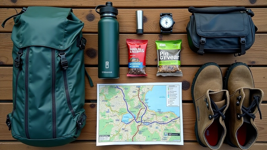
What You Actually Need to Bring
Don't overthink the kit. You need proper walking boots — trainers will leave you slipping on loose stone. You need water. A liter is fine for most people; 1.5 liters if you're slow or it's hot.
Bring a light snack. A banana, some nuts, a bar. Something you can eat while sitting down. It makes a difference when you're flagging halfway through.
Weather changes fast on mountains. Even if it's sunny when you start, bring a lightweight waterproof jacket. The wind picks up once you're exposed. A hat and gloves aren't silly — in May or September, you're sometimes walking through mist, and exposed skin gets cold quickly.
Phone, whistle, basic first aid stuff. Nothing fancy. A blister kit is honestly more useful than a full medical pack — if you feel a hot spot forming on your foot, tape it immediately and you'll be fine.
When to Go and What to Expect
May through September is best. Snow and ice aren't an issue, and the path's dry enough to be safe. June and July are warmest, but also busiest. May and September are quieter with the same good conditions.
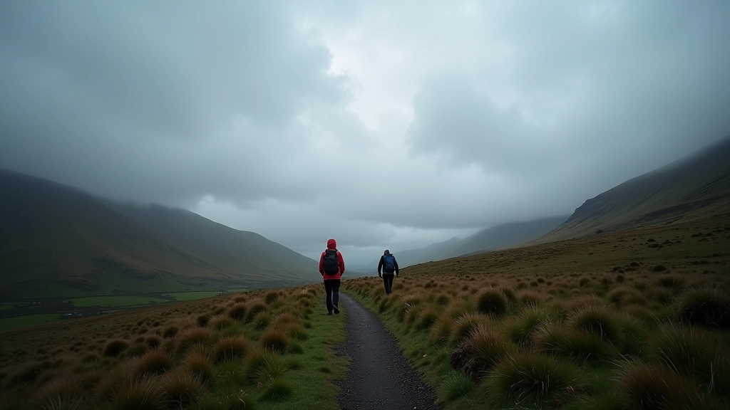
The weather won't cooperate half the time. That's Ireland. You might start in sunshine and finish in mist. It's not dangerous — visibility isn't usually bad enough to get lost, especially if you stay on the marked path. But it does mean the views vanish. Don't be gutted about it. Come back another day if you want the views. The walk's still good in cloud.
Wind is the real challenge. When it's properly blowing, you're leaning into it on exposed sections. Not dangerous, just tiring. Mornings are usually calmer than afternoons. If you're doing this in autumn, start early — the days get short fast.
The Bottom Line
The lower loop gives you everything Croagh Patrick's famous for — the mountain experience, the views, the proper walk — without the relentless steepness that stops people. You'll be tired at the end. Your legs will know you've done something. But it's the good kind of tired, not the defeated kind.
Most people who do this loop walk away thinking they could come back and try the main route next time. Some stick with the loop because they prefer it. Either way, you've done something genuinely worth doing.

Disclaimer
This guide is informational and educational in nature. While we've described the lower loop route based on actual experience, conditions on mountain trails can change due to weather, maintenance work, or seasonal factors. Always check current weather forecasts before heading out, bring appropriate safety equipment, and consider your own fitness level honestly. If you're new to mountain walking, consider going with an experienced friend or guide. Croagh Patrick is a real mountain — respect it accordingly. The information here is meant to help you prepare, not replace common sense or professional guidance.